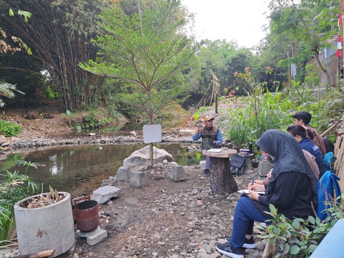


Yogyakarta, September 9th 2025 – The Geo-Information for Disaster Management and Spatial Planning Master Program organized a field study on in-depth learning activity for the course “Module A: Earth Science for Natural Disaster Assessment.” The activity took place at the Pelang River, Sleman, Yogyakarta.
The activity, joined by six Geo-Info students and coordinated by the course instructor, Dr. Nugroho Christanto, S.Si., M.Si.. He explained hydrology concepts. Dr. Nugroho also stated that natural disasters along river flows are caused by high rainfall, and trigger floods and landslides.
The objective of this field study was to implement hydrology with direct field observation (field-based learning). Students were expected to identify fluvial landforms and observe how river discharge recording instruments work.
Students, at the end of the session, were asked to submit a report based on their analysis of the field study. This serves as a benchmark for assessing students’ ability to express their ideas and thoughts in written form based on practical activities and direct field observation.
Author: Siti Muyasaroh