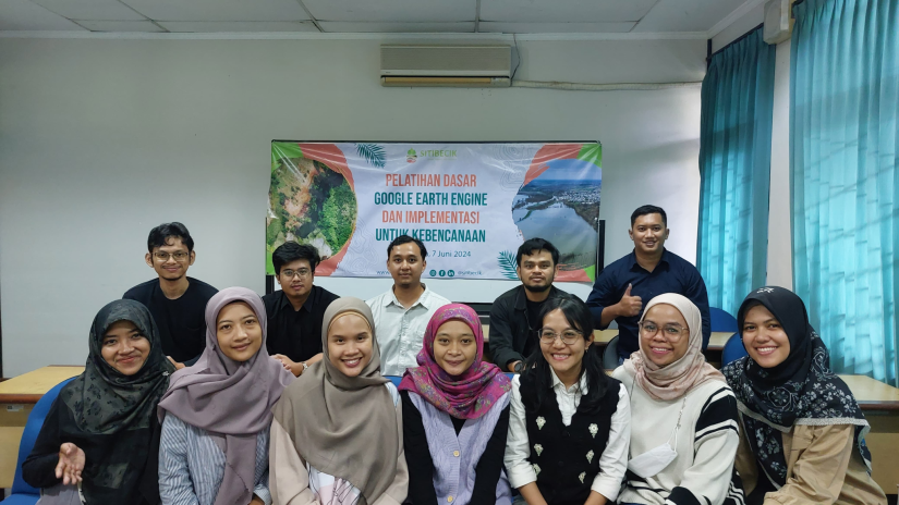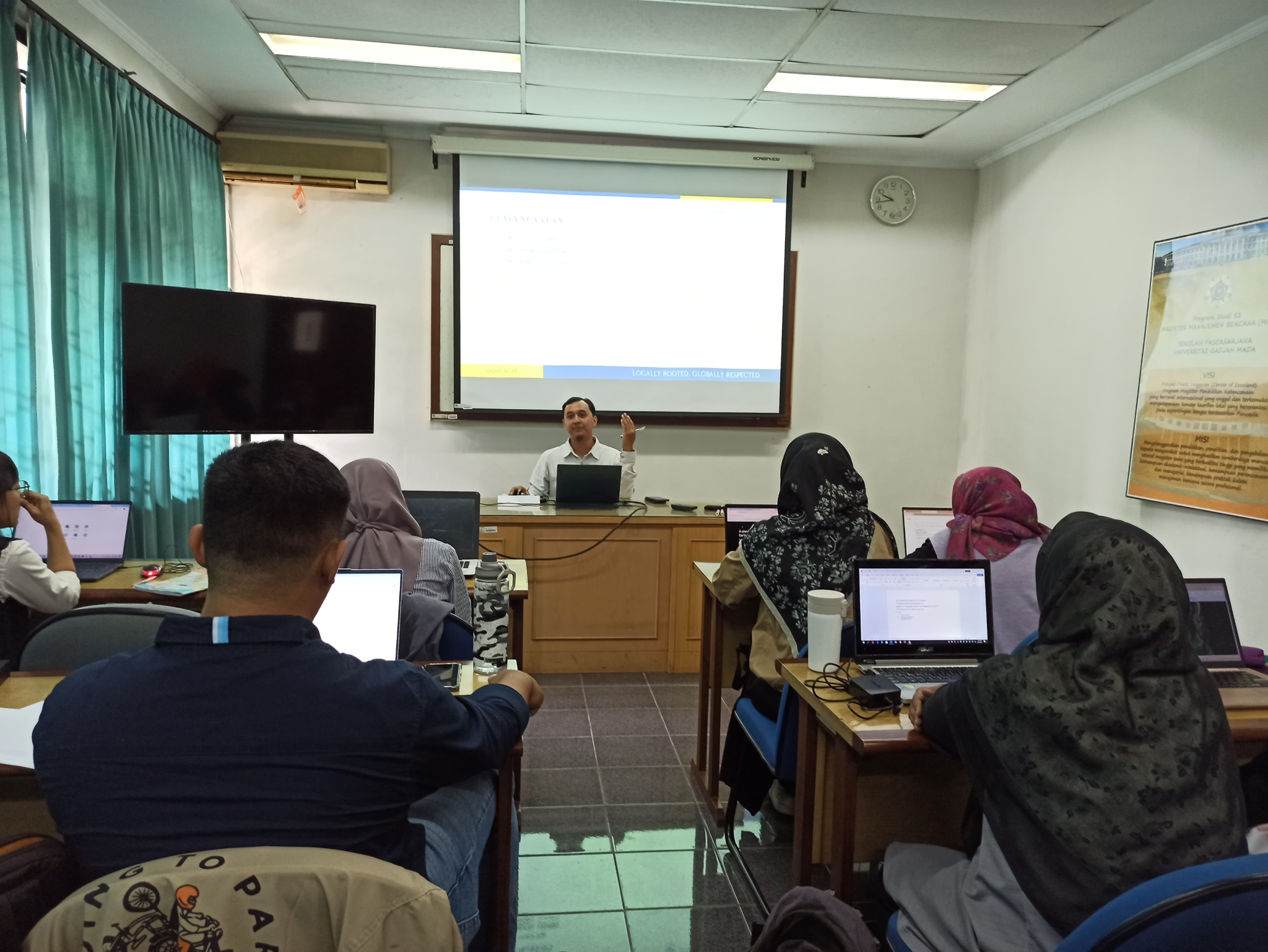
The Chief of Geo-Information Study Interests for Disaster Management, Graduate School, Gadjah Mada University, Yogyakarta, in collaboration with PT Sitibecik Rampai Nusacita, held Basic Google Earth Engine (GEE) Training and Implementation for Disasters on Friday, June 7th 2024. The event was presenting a speaker, Mr. Habib Husyien Albani, Str. Geo. The training, which took place from 09.00 to 16.00, was attended by fourteen participants. Participants are students interested in Geo-Information Studies for Disaster Management Class of 2023/2024.
Science that studies various geosphere phenomena using spatial, ecological and complex regional approaches can technically develop with various studies and methods that accommodate the complexity of the study. This underlies the implementation of training activities which aim to improve students’ spatial analysis skills to support research needs so that they comply with the rules of good and correct mapping.
The training was carried out in order to improve students’ skills in using the GEE application which can be implemented for disaster studies. GEE is an open source cloud-based platform. Cloud computing is an internet-based computing service that allows users to access, process and store data without having to have their own infrastructure. This makes cloud computing superior in terms of storage and data processing speed. Based on these advantages, many researchers around the world have begun to carry out research using the system, making it a new trend in research and spatial data processing.
The training was carried out using a workshop system, which means participants carried out direct practice in processing geospatial data using GEE. Participants can follow the step by step presented by the presenter while carrying out discussions regarding technical issues and obstacles during data processing practices. It is hoped that students can understand properly and correctly in detail the use of the GEE application
The training material presented includes a basic introduction to GEE, calling GEE datasets and local data, displaying data, and simple image analysis. In the training, participants practice accessing data as well as analyzing data simply in one platform.
Students who took part in the training were very enthusiastic about this training activity. According to the training participants, the material obtained was useful in processing disaster data. Furthermore, it is hoped that similar training will be held that can improve students’ skills and insight.
This activity is a form of support for the realization of Sustainable Goals (SDGs) pillar 4, namely quality education.
Tags: google earth engine, disaster, SDGs, SDG 4
Author: Siti Muyasaroh


